2021
SS8380 : Farmland and woodland to the south east of North Cornelly
taken 2 years ago, near to South Cornelly, Bridgend/Pen-y-Bont ar Ogwr, Wales
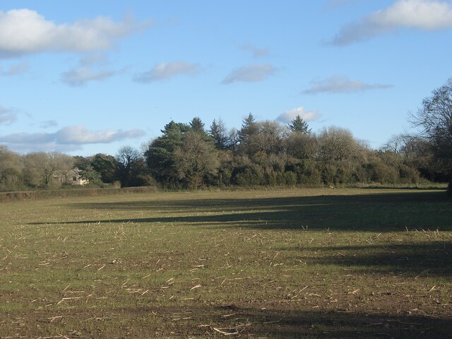
Farmland and woodland to the south east of North Cornelly
Farmland and woodland lying just off the lane Heol-y-Sheet.
 Map © Crown Copyright")
TIP: Click the map for more Large scale mapping
- Grid Square
- SS8380, 57 images (more nearby 🔍)
- Photographer
- eswales (more nearby)
- Date Taken
- Thursday, 4 November, 2021 (more nearby)
- Submitted
- Saturday, 6 November, 2021
- Subject Location
-
OSGB36:
 SS 834 807 [100m precision]
WGS84: 51:30.7893N 3:40.9013W - Camera Location
-
OSGB36: SS 831 807
- View Direction
- East-southeast (about 112 degrees)