2021
TL2419 : The A1(M), Knebworth
taken 2 years ago, near to Knebworth, Hertfordshire, England
This is 1 of 2 images, with title The A1(M), Knebworth in this square
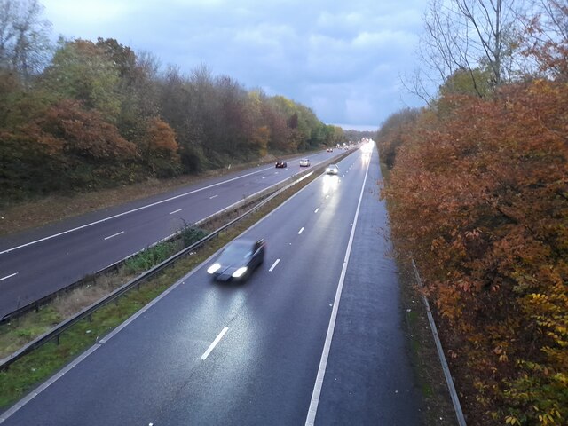
The A1(M), Knebworth
From the Wych Elm Lane bridge
 Map © Crown Copyright")
TIP: Click the map for more Large scale mapping
- Grid Square
- TL2419, 33 images (more nearby 🔍)
- Photographer
- David Howard (more nearby)
- Date Taken
- Sunday, 14 November, 2021 (more nearby)
- Submitted
- Monday, 15 November, 2021
- Subject Location
-
OSGB36:
 TL 2431 1924 [10m precision]
WGS84: 51:51.4746N 0:11.7799W - Camera Location
-
OSGB36: TL 2432 1921
- View Direction
- NORTH (about 0 degrees)