2021
NY4716 : Low Kop
taken 2 years ago, 4 km E of Dale Head, Cumbria, England
This is 1 of 3 images, with title Low Kop in this square
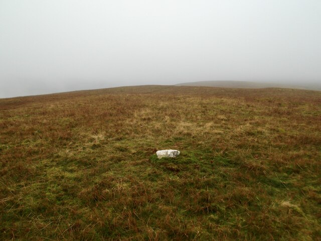
Low Kop
Is this the top?
 Map © Crown Copyright")
TIP: Click the map for more Large scale mapping
- Grid Square
- NY4716, 11 images (more nearby 🔍)
- Photographer
- David Brown (more nearby)
- Date Taken
- Monday, 15 November, 2021 (more nearby)
- Submitted
- Wednesday, 17 November, 2021
- Subject Location
-
OSGB36:
 NY 4742 1649 [10m precision]
WGS84: 54:32.4557N 2:48.8527W - Camera Location
-
OSGB36: NY 4737 1645
- View Direction
- Northeast (about 45 degrees)