2021
SK1373 : Looking up Chee Dale
taken 2 years ago, near to Millers Dale, Derbyshire, England
This is 1 of 2 images, with title starting with Looking up in this square
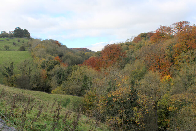
Looking up Chee Dale
Deep wooded valley showing autumnal colours, as seen from the B6049 and the Limestone Way long distance footpath
Limestone Way
A 46 mile route through the heart of the Derbyshire limestone dales, heading south from Castleton through Peak Forest, Millers Dale, Flagg, Monyash, Youlgreave, Winster, Matlock, Bonsall, Ible, Parwich, Tissington, Thorpe, crossing the Dove to Marten Hill, Lower Ellastone and finishing in the Dove valley at Rocester.
Link
 Map © Crown Copyright")
TIP: Click the map for more Large scale mapping
- Grid Square
- SK1373, 210 images (more nearby 🔍)
- Photographer
- Chris Heaton (more nearby)
- Date Taken
- Thursday, 4 November, 2021 (more nearby)
- Submitted
- Friday, 19 November, 2021
- Subject Location
-
OSGB36:
 SK 1330 7322 [10m precision]
WGS84: 53:15.3494N 1:48.1262W - Camera Location
-
OSGB36: SK 1341 7315
- View Direction
- West-northwest (about 292 degrees)