2021
SO8853 : Whittington Walk housing development, Worcester
taken 2 years ago, near to Whittington, Worcestershire, England
This is 1 of 29 images, with title Whittington Walk housing development, Worcester in this square
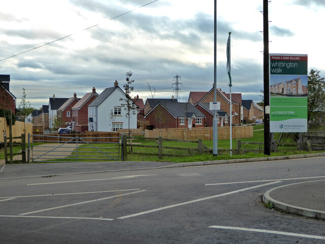
Whittington Walk housing development, Worcester
Alongside the A4440 bypass road. The development has now entered its third phase and is eating up more former fields.
 Map © Crown Copyright")
TIP: Click the map for more Large scale mapping
- Grid Square
- SO8853, 213 images (more nearby 🔍)
- Photographer
- Chris Allen (more nearby)
- Date Taken
- Tuesday, 9 November, 2021 (more nearby)
- Submitted
- Friday, 19 November, 2021
- Subject Location
-
OSGB36:
 SO 8805 5395 [10m precision]
WGS84: 52:11.0200N 2:10.5719W - Camera Location
-
OSGB36: SO 8805 5404
- View Direction
- SOUTH (about 180 degrees)