2021
SN2641 : Heol yn dringo'r allt / A road ascending the wood
taken 2 years ago, near to Cenarth, Ceredigion/Sir Ceredigion, Wales
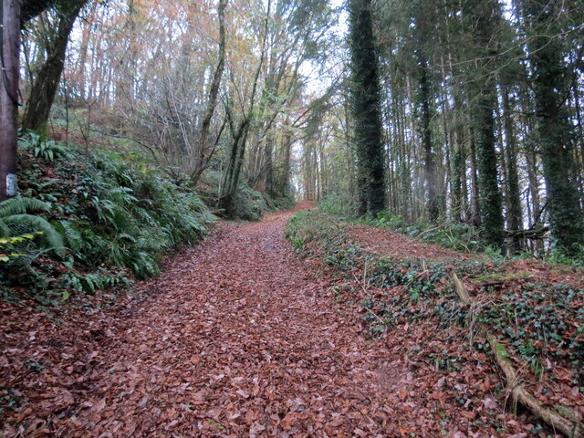
Heol yn dringo'r allt / A road ascending the wood
Heol ddiwyneb yn dringo'r allt.
An unsurfaced road ascending the wood.
An unsurfaced road ascending the wood.
 Map © Crown Copyright")
TIP: Click the map for more Large scale mapping
- Grid Square
- SN2641, 58 images (more nearby 🔍)
- Photographer
- Alan Richards (more nearby)
- Date Taken
- Wednesday, 24 November, 2021 (more nearby)
- Submitted
- Thursday, 25 November, 2021
- Subject Location
-
OSGB36:
 SN 2604 4148 [10m precision]
WGS84: 52:2.6607N 4:32.2823W - Camera Location
-
OSGB36: SN 2607 4146
- View Direction
- Northwest (about 315 degrees)