2021
SN6743 : Llwybr Aber-Mangoed / Aber-Mangoed path
taken 2 years ago, near to Llandre, Carmarthenshire/Sir Gaerfyrddin, Wales
This is 1 of 3 images, with title Llwybr Aber-Mangoed / Aber-Mangoed path in this square
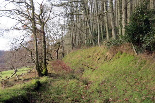
Llwybr Aber-Mangoed / Aber-Mangoed path
Llwybr yn mynd i gyfeiriad Ffarm Aber-Mangoed.
A path heading towards Aber-Mangoed Farm (trans. confluence of the Mangoed stream).
A path heading towards Aber-Mangoed Farm (trans. confluence of the Mangoed stream).
 Map © Crown Copyright")
TIP: Click the map for more Large scale mapping
- Grid Square
- SN6743, 7 images (more nearby 🔍)
- Photographer
- Alan Richards (more nearby)
- Date Taken
- Sunday, 28 November, 2021 (more nearby)
- Submitted
- Monday, 29 November, 2021
- Subject Location
-
OSGB36:
 SN 6774 4311 [10m precision]
WGS84: 52:4.2311N 3:55.8629W - Camera Location
-
OSGB36: SN 6780 4311
- View Direction
- WEST (about 270 degrees)