2021
SN1741 : House on southern edge of Bridell
taken 2 years ago, near to Bridell, Pembrokeshire/Sir Benfro, Wales
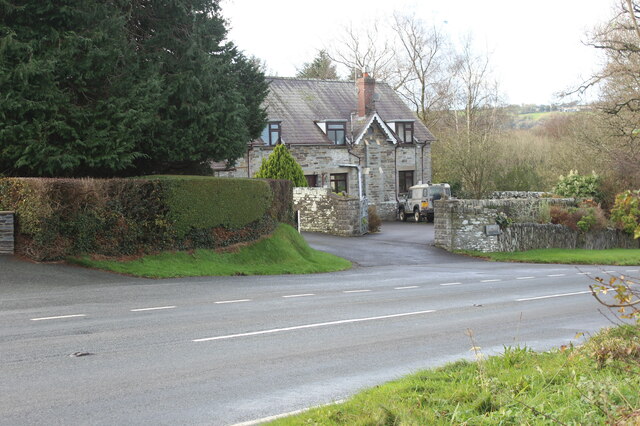
House on southern edge of Bridell
'Cwmwsni' off lay-by on A478.
 Map © Crown Copyright")
TIP: Click the map for more Large scale mapping
- Grid Square
- SN1741, 5 images (more nearby 🔍)
- Photographer
- M J Roscoe (more nearby)
- Date Taken
- Sunday, 28 November, 2021 (more nearby)
- Submitted
- Friday, 3 December, 2021
- Subject Location
-
OSGB36:
 SN 178 418 [100m precision]
WGS84: 52:2.7018N 4:39.4689W - Camera Location
-
OSGB36: SN 178 418
- View Direction
- West-northwest (about 292 degrees)