2021
SN6728 : Hen heol ddiwyneb / Old unsurfaced road
taken 2 years ago, near to Ashfield, Carmarthenshire/Sir Gaerfyrddin, Wales
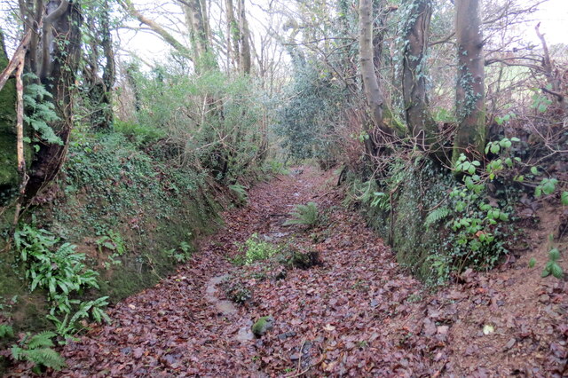
Hen heol ddiwyneb / Old unsurfaced road
Hen heol ddiwyneb ger Ffarm Cefn-glasfryn. Yn anffodus, ar adeg ysgrifennu hwn mae'r rhannau o'r ffordd wedi eu rhwystro.
An old unsurfaced road near Cefn-glasfryn Farm (trans. green hill ridge). Unfortunately, at the time of writing sections of the road are obstructed.
An old unsurfaced road near Cefn-glasfryn Farm (trans. green hill ridge). Unfortunately, at the time of writing sections of the road are obstructed.
 Map © Crown Copyright")
TIP: Click the map for more Large scale mapping
- Grid Square
- SN6728, 6 images (more nearby 🔍)
- Photographer
- Alan Richards (more nearby)
- Date Taken
- Friday, 3 December, 2021 (more nearby)
- Submitted
- Friday, 3 December, 2021
- Subject Location
-
OSGB36:
 SN 6761 2860 [10m precision]
WGS84: 51:56.4064N 3:55.6399W - Camera Location
-
OSGB36: SN 6762 2857
- View Direction
- North-northwest (about 337 degrees)