2021
SN6632 : Llwybr i Goedhirion / Path to Coedhirion
taken 2 years ago, near to Halfway, Carmarthenshire/Sir Gaerfyrddin, Wales
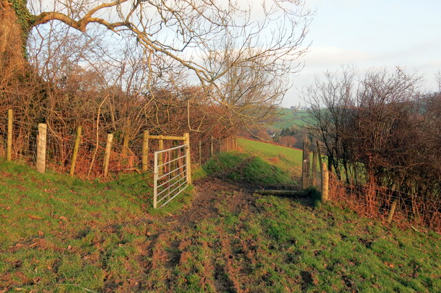
Llwybr i Goedhirion / Path to Coedhirion
Llwybr cyhoeddus yn mynd i gyfeiriad Ffarm Coedhirion.
A public footpath heading in the direction of Coedhirion Farm (trans. long trees).
A public footpath heading in the direction of Coedhirion Farm (trans. long trees).
 Map © Crown Copyright")
TIP: Click the map for more Large scale mapping
- Grid Square
- SN6632, 7 images (more nearby 🔍)
- Photographer
- Alan Richards (more nearby)
- Date Taken
- Friday, 17 December, 2021 (more nearby)
- Submitted
- Friday, 17 December, 2021
- Subject Location
-
OSGB36:
 SN 6621 3252 [10m precision]
WGS84: 51:58.4997N 3:56.9528W - Camera Location
-
OSGB36: SN 6616 3251
- View Direction
- East-northeast (about 67 degrees)