2021
TM4455 : Salt marsh on the Alde estuary
taken 2 years ago, near to High Street, Suffolk, England
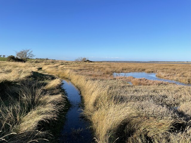
Salt marsh on the Alde estuary
Looking north-west from the sea wall near Ferry Lane.
 Map © Crown Copyright")
TIP: Click the map for more Large scale mapping
- Grid Square
- TM4455, 30 images (more nearby 🔍)
- Photographer
- Simon Mortimer (more nearby)
- Date Taken
- Saturday, 4 December, 2021 (more nearby)
- Submitted
- Friday, 24 December, 2021
- Subject Location
-
OSGB36:
 TM 4485 5520 [10m precision]
WGS84: 52:8.4471N 1:34.6140E - Camera Location
-
OSGB36: TM 4495 5513
- View Direction
- Northwest (about 315 degrees)