2021
SN6628 : Llwybr ger Nant Erddyl / Path near Nant Erddyl
taken 2 years ago, near to Manordeilo, Carmarthenshire/Sir Gaerfyrddin, Wales
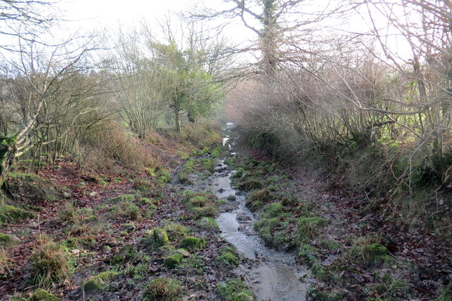
Llwybr ger Nant Erddyl / Path near Nant Erddyl
Llwybr troed cyhoeddus gwlyb iawn yn agosau at y rhyd ar Nant Erddyl. Yn anffodus, ar adeg ysgrifennu hwn mae'r llwybr wedi ei rwystro.
A very wet public footpath approaching the ford at Nant Erddyl (trans. Erddyl stream). Unfortunately, at the time of writing the path is obstructed.
A very wet public footpath approaching the ford at Nant Erddyl (trans. Erddyl stream). Unfortunately, at the time of writing the path is obstructed.
 Map © Crown Copyright")
TIP: Click the map for more Large scale mapping
- Grid Square
- SN6628, 11 images (more nearby 🔍)
- Photographer
- Alan Richards (more nearby)
- Date Taken
- Wednesday, 29 December, 2021 (more nearby)
- Submitted
- Wednesday, 29 December, 2021
- Subject Location
-
OSGB36:
 SN 6667 2856 [10m precision]
WGS84: 51:56.3713N 3:56.4589W - Camera Location
-
OSGB36: SN 6666 2861
- View Direction
- South-southeast (about 157 degrees)