2017
SY4894 : Fishing Lakes in the Mangerton Valley
taken 7 years ago, near to Bradpole, Dorset, England
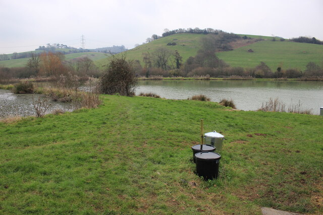
Fishing Lakes in the Mangerton Valley
These small fishing lakes are just to the west of the Oldhouse Farm buildings next to the Mangerton River which is marked by the line of trees and bushes on the opposite side of the lake.
 Map © Crown Copyright")
TIP: Click the map for more Large scale mapping
- Grid Square
- SY4894, 79 images (more nearby 🔍)
- Photographer
- Nigel Mykura (more nearby)
- Date Taken
- Saturday, 11 February, 2017 (more nearby)
- Submitted
- Saturday, 1 January, 2022
- Subject Location
-
OSGB36:
 SY 4851 9475 [10m precision]
WGS84: 50:45.0033N 2:43.8736W - Camera Location
-
OSGB36: SY 4840 9472
- View Direction
- East-northeast (about 67 degrees)