C4416 : King St
taken 2 years ago, near to Londonderry, Northern Ireland
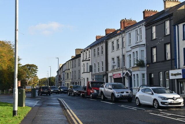
King St
The A2 runs 237 miles along the coastline of Northern Ireland, from Derry to Newry.
Link
See other images of A2 (Northern Ireland)
Link
See other images of A2 (Northern Ireland)
![Creative Commons Licence [Some Rights Reserved]](https://s1.geograph.org.uk/img/somerights20.gif)
|
· Find out How to reuse this image ·
Share:
|
|||||
|
There is 1 post in a
discussion on C4416 (preview on the left) |
Suggest an update to this image | Contact the contributor | |||
Loading map... (JavaScript required)
- Grid Square
- C4416, 199 images (more nearby
 )
)
- Photographer
- N Chadwick (find more nearby)
- Date Taken
- Thursday, 21 October, 2021 (more nearby)
- Submitted
- Thursday, 6 January, 2022
- Geographical Context
- Subject Location
-
Irish:
 C 442 168 [100m precision]
WGS84: 54:59.8140N 7:18.5894W - Camera Location
-
Irish: C 442 168
- View Direction
- North-northeast (about 22 degrees)
This page has been viewed about 20 times.
View this location:
KML (Google Earth) ·
Google Maps ·
Bing Maps ·
Geograph Coverage Map ·
More Links for this image