2021
NT5833 : River Tweed and Pond
taken 2 years ago, near to Newtown st Boswells, Scottish Borders, Scotland
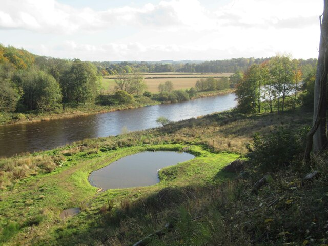
River Tweed and Pond
This pond isn't marked on the OS map. It may have been created to act as a decoy pond.
 Map © Crown Copyright")
TIP: Click the map for more Large scale mapping
- Grid Square
- NT5833, 66 images (more nearby 🔍)
- Photographer
- Les Hull (more nearby)
- Date Taken
- Monday, 25 October, 2021 (more nearby)
- Submitted
- Sunday, 6 February, 2022
- Subject Location
-
OSGB36:
 NT 5834 3308 [10m precision]
WGS84: 55:35.3738N 2:39.7518W - Camera Location
-
OSGB36: NT 5831 3313
- View Direction
- Southeast (about 135 degrees)