2022
SD4761 : Damside Street, Lancaster
taken 2 years ago, near to Lancaster, Lancashire, England
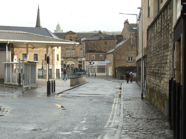
Damside Street, Lancaster
Looking east from the bottom of New Road. The bus station on the left, the spire of the former Centenary Church, Rosemary Lane beyond and the dome of The Ashton Memorial in Williamson's Park, in the distance.
 Map © Crown Copyright")
TIP: Click the map for more Large scale mapping
- Grid Square
- SD4761, 1203 images (more nearby 🔍)
- Photographer
- Stephen Armstrong (more nearby)
- Date Taken
- Sunday, 6 February, 2022 (more nearby)
- Submitted
- Thursday, 10 March, 2022
- Subject Location
-
OSGB36:
 SD 4764 6189 [10m precision]
WGS84: 54:3.0179N 2:48.0735W - Camera Location
-
OSGB36: SD 4762 6189
- View Direction
- East-southeast (about 112 degrees)