J5336 : Killough
taken 19 years ago, near to Killough, Co Down, Northern Ireland
This is 1 of 2 images, with title Killough in this square
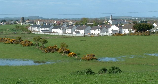
Killough
To the left is an old windmill base
![Creative Commons Licence [Some Rights Reserved]](https://s1.geograph.org.uk/img/somerights20.gif)
|
· Find out How to reuse this image ·
Share:
|
|||||
| Start a discussion on J5336 | Suggest an update to this image | Contact the contributor | |||
Loading map... (JavaScript required)
- Grid Square
- J5336, 142 images (more nearby
 )
)
- Photographer
- Michael Parry (find more nearby)
- Date Taken
- Wednesday, 4 May, 2005 (more nearby)
- Submitted
- Wednesday, 4 May, 2005
- Category
- Town (more nearby)
- Subject Location
-
Irish:
 J 53 36 [1000m precision]
WGS84: 54:15.2604N 5:38.7261W
This page has been viewed about 590 times.
View this location:
KML (Google Earth) ·
Google Maps ·
Bing Maps ·
Geograph Coverage Map ·
More Links for this image
·
Bing Maps ·
Geograph Coverage Map ·
More Links for this image