S5662 : Felled Area
taken 2 years ago, 4 km WNW of Castlewarren, Co Kilkenny, Ireland
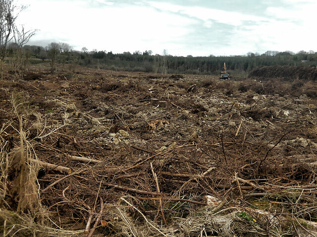
Felled Area
Recently felled area of forestry with operations in progress, about 0.5 km NE of Johnswell.
![Creative Commons Licence [Some Rights Reserved]](https://s1.geograph.org.uk/img/somerights20.gif)
|
· Find out How to reuse this image ·
Share:
|
|||||
| Start a discussion on S5662 | Suggest an update to this image | Contact the contributor | |||
Loading map... (JavaScript required)
- Grid Square
- S5662 (more nearby
 )
)
- Photographer
- kevin higgins (find more nearby)
- Date Taken
- Saturday, 9 April, 2022 (more nearby)
- Submitted
- Sunday, 10 April, 2022
- Geographical Context
- Primary Subject of Photo
- Subject Location
-
Irish:
 S 5699 6203 [10m precision]
WGS84: 52:42.4064N 7:9.4558W - Camera Location
-
Irish: S 5693 6203
- View Direction
- EAST (about 90 degrees)
This page has been viewed about 23 times.
View this location:
KML (Google Earth) ·
Google Maps ·
Bing Maps ·
Geograph Coverage Map ·
More Links for this image
·
Bing Maps ·
Geograph Coverage Map ·
More Links for this image