2022
SO6323 : A40 at Weston
taken 2 years ago, near to Weston Under Penyard, County of Herefordshire, England
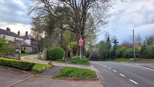
A40 at Weston
Looking west towards the Weston Cross and Ross.
 Map © Crown Copyright")
TIP: Click the map for more Large scale mapping
- Grid Square
- SO6323, 254 images (more nearby 🔍)
- Photographer
- Jonathan Billinger (more nearby)
- Date Taken
- Friday, 8 April, 2022 (more nearby)
- Submitted
- Tuesday, 12 April, 2022
- Subject Location
-
OSGB36:
 SO 6329 2334 [10m precision]
WGS84: 51:54.4427N 2:32.1018W - Camera Location
-
OSGB36: SO 6331 2332
- View Direction
- West-northwest (about 292 degrees)