2022
TQ1148 : Field edge
taken 2 years ago, near to Wotton, Surrey, England
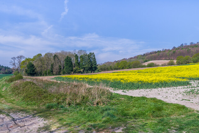
Field edge
Field edge near Park Farm, with a field of Oilseed Rape on the right and a small unnamed copse beyond.
 Map © Crown Copyright")
TIP: Click the map for more Large scale mapping
- Grid Square
- TQ1148, 84 images (more nearby 🔍)
- Photographer
- Ian Capper (more nearby)
- Date Taken
- Thursday, 21 April, 2022 (more nearby)
- Submitted
- Saturday, 30 April, 2022
- Subject Location
-
OSGB36:
 TQ 119 485 [100m precision]
WGS84: 51:13.4831N 0:23.8615W - Camera Location
-
OSGB36: TQ 120 484
- View Direction
- WEST (about 270 degrees)