2022
TQ1047 : Picnic area
taken 2 years ago, near to Abinger Hammer, Surrey, England
This is 1 of 2 images, with title Picnic area in this square
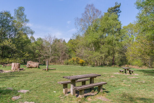
Picnic area
Picnic area in the National Trust owned woodland of Abinger Roughs, situated between Wotton and Abinger Hammer.
 Map © Crown Copyright")
TIP: Click the map for more Large scale mapping
- Grid Square
- TQ1047, 30 images (more nearby 🔍)
- Photographer
- Ian Capper (more nearby)
- Date Taken
- Thursday, 21 April, 2022 (more nearby)
- Submitted
- Monday, 2 May, 2022
- Subject Location
-
OSGB36:
 TQ 109 478 [100m precision]
WGS84: 51:13.1707N 0:24.7367W - Camera Location
-
OSGB36: TQ 109 479
- View Direction
- WEST (about 270 degrees)