2022
TQ1147 : Car park
taken 2 years ago, near to Abinger Hammer, Surrey, England
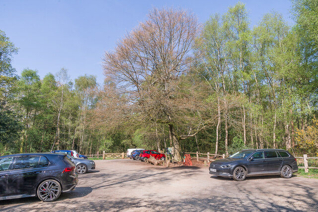
Car park
Car park off White Down Lane serving the National Trust owned woodland of Abinger Roughs, situated between Wotton and Abinger Hammer.
 Map © Crown Copyright")
TIP: Click the map for more Large scale mapping
- Grid Square
- TQ1147, 41 images (more nearby 🔍)
- Photographer
- Ian Capper (more nearby)
- Date Taken
- Thursday, 21 April, 2022 (more nearby)
- Submitted
- Monday, 2 May, 2022
- Subject Location
-
OSGB36:
 TQ 110 479 [100m precision]
WGS84: 51:13.2237N 0:24.6661W - Camera Location
-
OSGB36: TQ 110 479
- View Direction
- West-northwest (about 292 degrees)