G0540 : R314
taken 2 years ago, 6 km E of Belderg, Co Mayo, Ireland
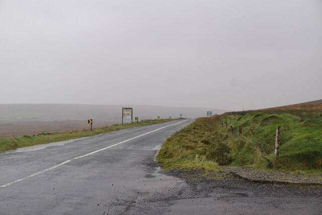
The R314 in northern County Mayo connects the R313 at Áit Tí Conain, 5 km southwest of Béal an Mhuirthead, to the N59 in Ballina G2419 : Approaching the end of the R314 by way of Ballycastle and Killala. 70km long.
The Wild Atlantic Way is a tourist trail on the west coast, and on parts of the north and south coasts, of Ireland. The 2,500 km (1,553 mile) driving route passes through nine counties and three provinces, stretching from County Donegal's Inishowen Peninsula in Ulster to Kinsale, County Cork, in Munster, on the Celtic Sea coast.
The route is broken down into 5 sections.
County Donegal
County Donegal to County Mayo
County Mayo to County Clare
County Clare to County Kerry
County Kerry to County Cork
Along the route there are 157 discovery points, 1,000 attractions and more than 2,500 activities. The route was officially launched in 2014.
Website: Link
![Creative Commons Licence [Some Rights Reserved]](https://s1.geograph.org.uk/img/somerights20.gif)
|
· Find out How to reuse this image ·
Share:
|
|||||
| Start a discussion on G0540 | Suggest an update to this image | Contact the contributor | |||
- Grid Square
- G0540, 38 images (more nearby
 )
)
- Photographer
- N Chadwick (find more nearby)
- Date Taken
- Tuesday, 26 October, 2021 (more nearby)
- Submitted
- Wednesday, 4 May, 2022
- Geographical Context
- Subject Location
-
Irish:
 G 0525 4090 [10m precision]
WGS84: 54:18.4850N 9:27.3844W - Camera Location
-
Irish: G 0524 4092
- View Direction
- Southeast (about 135 degrees)