2005
TA1028 : The River Hull tidal surge barrier
taken 19 years ago, near to Kingston Upon Hull, England
This is 1 of 2 images, with title The River Hull tidal surge barrier in this square
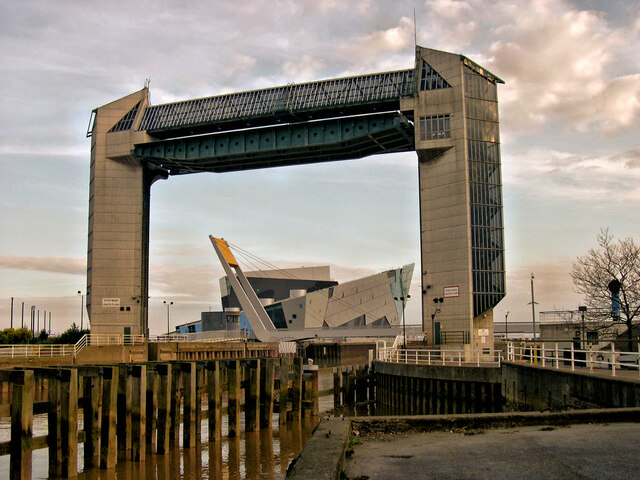
The River Hull tidal surge barrier
The barrier was erected in 1980 across the River Hull as a flood prevention measure. Seen here in 2005, since then the structure has been listed Grade II. Through the arch is the foot and cycle bridge and beyond is The Deep. Iconic modern structures that now represent 21st century Kingston upon Hull.
 Map © Crown Copyright")
TIP: Click the map for more Large scale mapping
- Grid Square
- TA1028, 3428 images (more nearby 🔍)
- Photographer
- Philip Pankhurst (more nearby)
- Date Taken
- Thursday, 9 June, 2005 (more nearby)
- Submitted
- Friday, 3 June, 2022
- Subject Location
-
OSGB36:
 TA 101 281 [100m precision]
WGS84: 53:44.2970N 0:19.8631W - Camera Location
-
OSGB36: TA 101 284
- View Direction
- SOUTH (about 180 degrees)