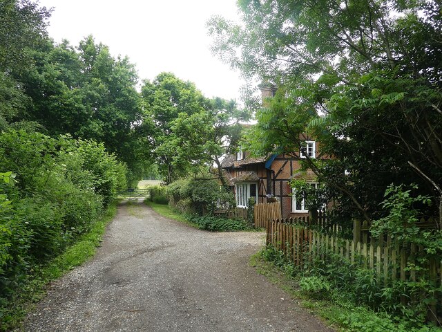
SU7856 : Elvetham - North Lodge
taken 2 years ago, near to Hartfordbridge, Hampshire, England
Elvetham dates back to Saxon times around 800AD but any traces of this early history have been obscured by later development. The enormous sprawling edifice seen today dates from 1859-62 when it was rebuilt to the High Victorian Gothic design of architact Samuel Sanders Teulon Link
for Fredrick Gough, 4th Lord Calthorpe of Elvetham.
But Elvetham's history spans all the centuries between having several 'haydays' notably in the (first) Elizabethan era when the queen visited and was entertained by Edward Seymour, Earl of Hertford, at which time she planted an oak tree that still survives after over 400 years.
There is a good comprehensive history of the site at the hotel's 'History' page, here Link
The building is now used as a country hotel and for weddings and other functions - see the hotel's website here Link
It is EH Grade II* listed Link
Its stables are Grade II listed Link
As is the (now deconsecrated) church of St Mary in its grounds: Link
And the War Memorial in the churchyard: Link
All the buildings lie within a Grade II listed park: Link
 Map © Crown Copyright")
- Grid Square
- SU7856, 60 images (more nearby 🔍)
- Photographer
- Rob Farrow (more nearby)
- Date Taken
- Friday, 3 June, 2022 (more nearby)
- Submitted
- Sunday, 5 June, 2022
- Subject Location
-
OSGB36:
 SU 7867 5674 [10m precision]
WGS84: 51:18.2612N 0:52.3717W - Camera Location
-
OSGB36: SU 7868 5679
- View Direction
- South-southwest (about 202 degrees)