2022
TQ4729 : Track on Ashdown Forest
taken 2 years ago, near to Poundgate, East Sussex, England
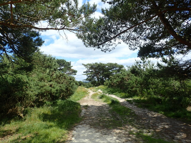
Track on Ashdown Forest
Ashdown Forest is a former medieval hunting forest, and is the highest ridge of the High Weald. At ten square miles it is the largest open access area in the South East. Ashdown Forest was purchased by East Sussex County Council from the De La Warr family in 1988. It is now managed by a Board of Conservators. Nearly two thirds of it is heathland.
This track is just east of Kings Standing Clump.
This track is just east of Kings Standing Clump.
 Map © Crown Copyright")
TIP: Click the map for more Large scale mapping
- Grid Square
- TQ4729, 83 images (more nearby 🔍)
- Photographer
- Marathon (more nearby)
- Date Taken
- Monday, 13 June, 2022 (more nearby)
- Submitted
- Friday, 17 June, 2022
- Subject Location
-
OSGB36:
 TQ 4779 2996 [10m precision]
WGS84: 51:2.9988N 0:6.4266E - Camera Location
-
OSGB36: TQ 4773 2996
- View Direction
- EAST (about 90 degrees)