2022
SU6868 : Road and farmland, Burghfield
taken 2 years ago, near to Burghfield, West Berkshire, England
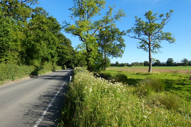
Road and farmland, Burghfield
The Atomic Weapons Establishment is glimpsed in the background.
 Map © Crown Copyright")
TIP: Click the map for more Large scale mapping
- Grid Square
- SU6868, 27 images (more nearby 🔍)
- Photographer
- Andrew Smith (more nearby)
- Date Taken
- Tuesday, 14 June, 2022 (more nearby)
- Submitted
- Saturday, 18 June, 2022
- Subject Location
-
OSGB36:
 SU 686 688 [100m precision]
WGS84: 51:24.8657N 1:0.8287W - Camera Location
-
OSGB36: SU 686 689
- View Direction
- South-southeast (about 157 degrees)