2010
TQ2241 : Houses at Greenings Farm
taken 14 years ago, near to Charlwood, Surrey, England
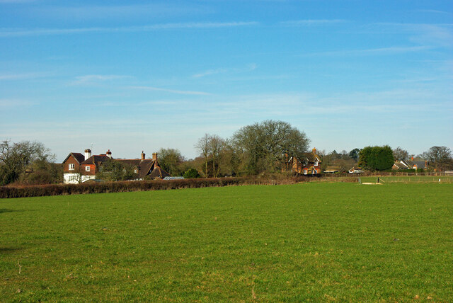
Houses at Greenings Farm
Greenings, the big house on the left, is a grade II listed building, around 1700.
 Map © Crown Copyright")
TIP: Click the map for more Large scale mapping
- Grid Square
- TQ2241, 23 images (more nearby 🔍)
- Photographer
- Robin Webster (more nearby)
- Date Taken
- Tuesday, 16 March, 2010 (more nearby)
- Submitted
- Saturday, 18 June, 2022
- Subject Location
-
OSGB36:
 TQ 2255 4164 [10m precision]
WGS84: 51:9.6536N 0:14.9293W - Camera Location
-
OSGB36: TQ 22452 41425
- View Direction
- North-northeast (about 22 degrees)