2022
NY7614 : Field gateway from east side of rural road at Langrigg
taken 2 years ago, near to Great Musgrave, Cumbria, England
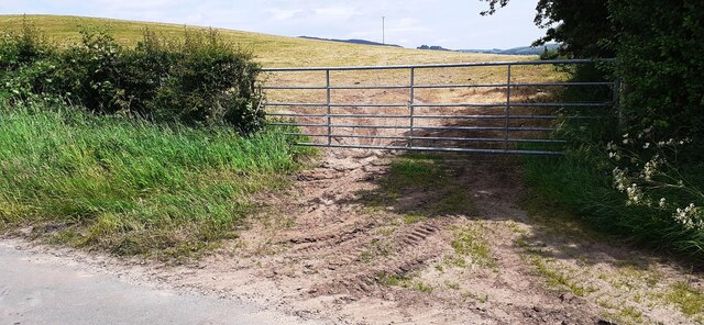
Field gateway from east side of rural road at Langrigg
Ordnance Survey documents indicate that a benchmark levelled at 157.688m above Newlyn Datum was verified in 1955 on a gatepost at the left hand side of the gateway
 Map © Crown Copyright")
TIP: Click the map for more Large scale mapping
- Grid Square
- NY7614, 19 images (more nearby 🔍)
- Photographer
- Roger Templeman (more nearby)
- Date Taken
- Friday, 17 June, 2022 (more nearby)
- Submitted
- Sunday, 19 June, 2022
- Subject Location
-
OSGB36:
 NY 7692 1471 [10m precision]
WGS84: 54:31.6285N 2:21.4874W - Camera Location
-
OSGB36: NY 7691 1470
- View Direction
- East-northeast (about 67 degrees)