2022
TA1413 : Habrough: aerial 2022
taken 2 years ago, near to Habrough, North East Lincolnshire, England
This is 1 of 17 images, with title starting with Habrough in this square
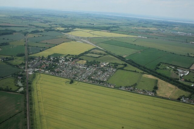
Habrough: aerial 2022
 Map © Crown Copyright")
TIP: Click the map for more Large scale mapping
- Grid Square
- TA1413, 65 images (more nearby 🔍)
- Photographer
- Chris (more nearby)
- Date Taken
- Wednesday, 15 June, 2022 (more nearby)
- Submitted
- Monday, 20 June, 2022
- Subject Location
-
OSGB36:
 TA 1455 1369 [10m precision]
WGS84: 53:36.4352N 0:16.2101W - Camera Location
-
OSGB36: TA 15572 13271
- View Direction
- West-northwest (about 292 degrees)