2022
NY9051 : Sheepfold in the valley of Devils Water west of Harwood Shield (2)
taken 2 years ago, near to Harwood Shield [other Features], Northumberland, Great Britain
This is 1 of 4 images, with title starting with Sheepfold in the valley of Devilâs Water west of Harwood Shield in this square
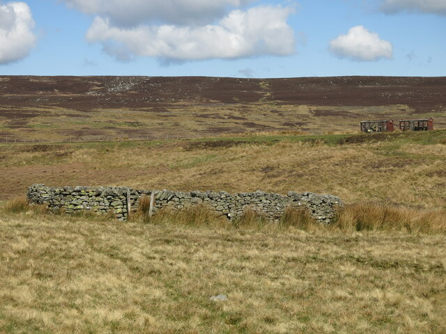
Sheepfold in the valley of Devils Water west of Harwood Shield (2)
 Map © Crown Copyright")
TIP: Click the map for more Large scale mapping
- Grid Square
- NY9051, 167 images (more nearby 🔍)
- Photographer
- Mike Quinn (more nearby)
- Date Taken
- Sunday, 24 April, 2022 (more nearby)
- Submitted
- Friday, 24 June, 2022
- Subject Location
-
OSGB36:
 NY 9006 5122 [10m precision]
WGS84: 54:51.3404N 2:9.3813W - Camera Location
-
OSGB36: NY 9007 5118
- View Direction
- North-northwest (about 337 degrees)