2022
SS8482 : Route with public access towards Waun Bant Road
taken 2 years ago, near to Kenfig Hill, Bridgend/Pen-y-Bont ar Ogwr, Wales
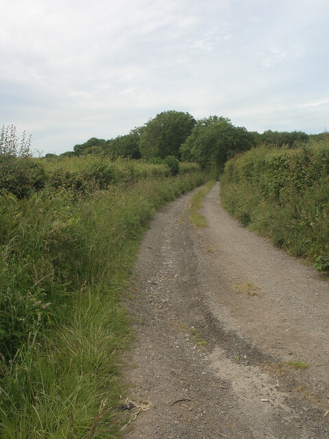
Route with public access towards Waun Bant Road
Mountain Lane seen about 200 metres from its south western end, a spot on Waun Bant Road just outside Kenfig Hill.
 Map © Crown Copyright")
TIP: Click the map for more Large scale mapping
- Grid Square
- SS8482, 26 images (more nearby 🔍)
- Photographer
- eswales (more nearby)
- Date Taken
- Wednesday, 15 June, 2022 (more nearby)
- Submitted
- Friday, 24 June, 2022
- Subject Location
-
OSGB36:
 SS 845 821 [100m precision]
WGS84: 51:31.5903N 3:39.9707W - Camera Location
-
OSGB36: SS 845 821
- View Direction
- WEST (about 270 degrees)