2011
TQ4240 : Public footpath FP403
taken 13 years ago, 3 km from Dormansland, Surrey, England
This is 1 of 4 images, with title Public footpath FP403 in this square
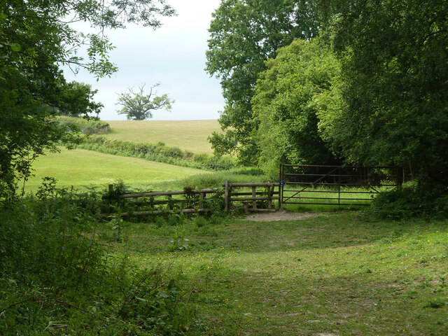
Public footpath FP403
The section from Lower Stonehurst Farm to Upper Stonehurst Farm.
 Map © Crown Copyright")
TIP: Click the map for more Large scale mapping
- Grid Square
- TQ4240, 26 images (more nearby 🔍)
- Photographer
- Robin Webster (more nearby)
- Date Taken
- Monday, 30 May, 2011 (more nearby)
- Submitted
- Monday, 27 June, 2022
- Subject Location
-
OSGB36:
 TQ 4281 4092 [10m precision]
WGS84: 51:8.9838N 0:2.4266E - Camera Location
-
OSGB36: TQ 4282 4091
- View Direction
- West-northwest (about 292 degrees)