2022
ST4053 : Lower Weare : Aerial View
taken 2 years ago, near to Lower Weare, Somerset, England
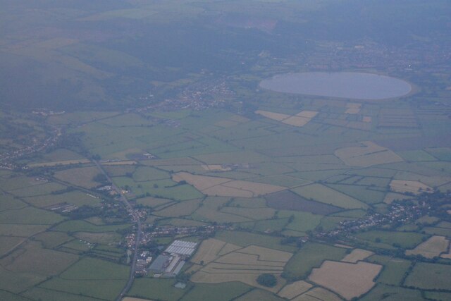
Lower Weare : Aerial View
Looking towards the reservoir from the air.
 Map © Crown Copyright")
TIP: Click the map for more Large scale mapping
- Grid Square
- ST4053, 59 images (more nearby 🔍)
- Photographer
- Lewis Clarke (more nearby)
- Date Taken
- Sunday, 19 June, 2022 (more nearby)
- Submitted
- Tuesday, 28 June, 2022
- Subject Location
-
OSGB36:
 ST 40 53 [1000m precision]
WGS84: 51:16.6514N 2:51.2646W - View Direction
- East-northeast (about 67 degrees)