2022
SD4585 : Whitbarrow: Farrers Allotment
taken 2 years ago, near to Mill Side, Cumbria, England
This is 1 of 2 images, with title Whitbarrow: Farrers Allotment in this square
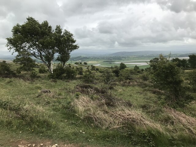
Whitbarrow: Farrers Allotment
 Map © Crown Copyright")
TIP: Click the map for more Large scale mapping
- Grid Square
- SD4585, 30 images (more nearby 🔍)
- Photographer
- Anthony Foster (more nearby)
- Date Taken
- Saturday, 21 May, 2022 (more nearby)
- Submitted
- Tuesday, 28 June, 2022
- Subject Location
-
OSGB36:
 SD 4510 8500 [10m precision]
WGS84: 54:15.4626N 2:50.6540W - Camera Location
-
OSGB36: SD 4510 8500
- View Direction
- Southwest (about 225 degrees)