2022
SU6659 : Farmland, Bramley
taken 2 years ago, near to Fair Oak Green, Hampshire, England
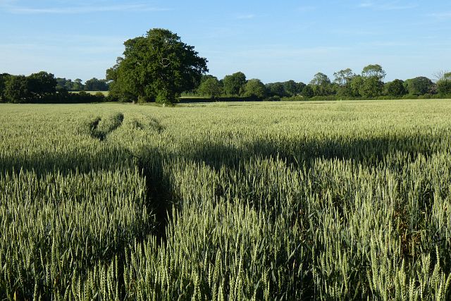
Farmland, Bramley
Wheat to the north of Oliver's Farm.
 Map © Crown Copyright")
TIP: Click the map for more Large scale mapping
- Grid Square
- SU6659, 42 images (more nearby 🔍)
- Photographer
- Andrew Smith (more nearby)
- Date Taken
- Monday, 20 June, 2022 (more nearby)
- Submitted
- Tuesday, 28 June, 2022
- Subject Location
-
OSGB36:
 SU 6644 5986 [10m precision]
WGS84: 51:20.0376N 1:2.8616W - Camera Location
-
OSGB36: SU 6637 5970
- View Direction
- North-northeast (about 22 degrees)