2022
SU6545 : Farmland, Ellisfield
taken 2 years ago, near to Herriard, Hampshire, England
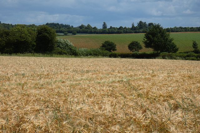
Farmland, Ellisfield
A view over barley with maize beyond from the bridleway to the west of Herriard Grange.
 Map © Crown Copyright")
TIP: Click the map for more Large scale mapping
- Grid Square
- SU6545, 12 images (more nearby 🔍)
- Photographer
- Andrew Smith (more nearby)
- Date Taken
- Sunday, 26 June, 2022 (more nearby)
- Submitted
- Wednesday, 29 June, 2022
- Subject Location
-
OSGB36:
 SU 653 454 [100m precision]
WGS84: 51:12.2501N 1:3.9241W - Camera Location
-
OSGB36: SU 653 452
- View Direction
- North-northeast (about 22 degrees)