2022
SJ9001 : Footpath and park land at Aldersley, Wolverhampton
taken 2 years ago, near to Oxley, Wolverhampton, England
This is 1 of 3 images, with title Footpath and park land at Aldersley, Wolverhampton in this square
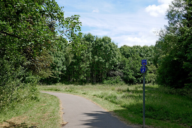
Footpath and park land at Aldersley, Wolverhampton
This public footpath is near the various facilities at Aldersley Leisure Village. The path is also signed locally as a branch from Sustrans National Cycle Route No 81. The Staffordshire and Worcestershire Canal at Aldersley Junction is hidden ahead in the woodland. The cycle route crosses the canal on Aldersley Bridge.
 Map © Crown Copyright")
TIP: Click the map for more Large scale mapping
- Grid Square
- SJ9001, 212 images (more nearby 🔍)
- Photographer
- Roger D Kidd (more nearby)
- Date Taken
- Monday, 20 June, 2022 (more nearby)
- Submitted
- Friday, 1 July, 2022
- Subject Location
-
OSGB36:
 SJ 9022 0115 [10m precision]
WGS84: 52:36.4824N 2:8.7513W - Camera Location
-
OSGB36: SJ 9015 0116
- View Direction
- EAST (about 90 degrees)