2022
SO7871 : Off road motocross track on Stagborough Hill
taken 2 years ago, near to Areley Kings, Worcestershire, England
This is 1 of 2 images, with title Off road motocross track on Stagborough Hill in this square
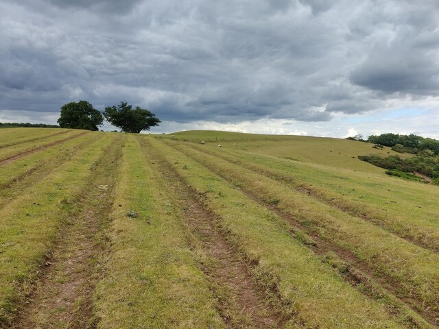
Off road motocross track on Stagborough Hill
Stagborough Hill, 124 metres (406 feet), is along the west bank of the River Severn in the Ribbesford Woods.
 Map © Crown Copyright")
TIP: Click the map for more Large scale mapping
- Grid Square
- SO7871, 6 images (more nearby 🔍)
- Photographer
- Mat Fascione (more nearby)
- Date Taken
- Friday, 1 July, 2022 (more nearby)
- Submitted
- Saturday, 2 July, 2022
- Subject Location
-
OSGB36:
 SO 7896 7183 [10m precision]
WGS84: 52:20.6482N 2:18.6161W - Camera Location
-
OSGB36: SO 7896 7183
- View Direction
- North-northwest (about 337 degrees)