2022
ND1262 : Mixed farming by River Thurso
taken 2 years ago, near to Buckies, Highland, Scotland
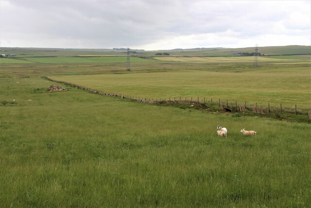
Mixed farming by River Thurso
 Map © Crown Copyright")
TIP: Click the map for more Large scale mapping
- Grid Square
- ND1262, 8 images (more nearby 🔍)
- Photographer
- Alan Reid (more nearby)
- Date Taken
- Sunday, 3 July, 2022 (more nearby)
- Submitted
- Sunday, 3 July, 2022
- Subject Location
-
OSGB36:
 ND 1261 6237 [10m precision]
WGS84: 58:32.4368N 3:30.1731W - Camera Location
-
OSGB36: ND 1242 6240
- View Direction
- EAST (about 90 degrees)