2022
SO4643 : The A480, Credenhill
taken 2 years ago, near to Stretton Sugwas, County of Herefordshire, England
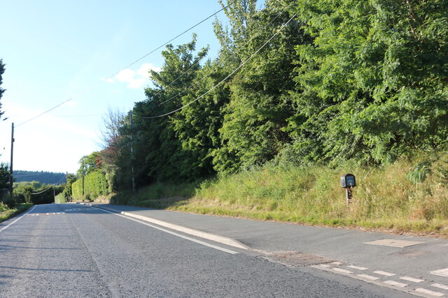
The A480, Credenhill
 Map © Crown Copyright")
TIP: Click the map for more Large scale mapping
- Grid Square
- SO4643, 8 images (more nearby 🔍)
- Photographer
- David Howard (more nearby)
- Date Taken
- Sunday, 3 July, 2022 (more nearby)
- Submitted
- Wednesday, 6 July, 2022
- Subject Location
-
OSGB36:
 SO 4617 4324 [10m precision]
WGS84: 52:5.0929N 2:47.2200W - Camera Location
-
OSGB36: SO 4619 4322
- View Direction
- Northwest (about 315 degrees)