2022
SS8282 : Track west of Pyle on a Wales Coast Path alternative route
taken 2 years ago, near to Pyle, Bridgend/Pen-y-Bont ar Ogwr, Wales
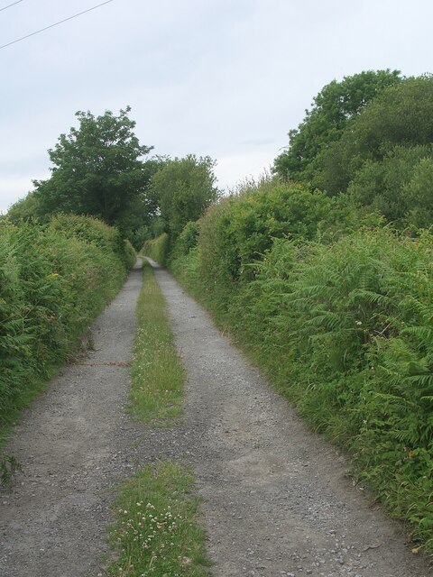
Track west of Pyle on a Wales Coast Path alternative route
On the Wales Coast Paths alternative route between the south of Kenfig Burrows and Margam which passes through Pyle. See SS8282 : Track, Pyle on a Wales Coast Path alternative route.
The track here runs parallel, and very close, to the Ogmore Vale Extension railway line which is just on the other side of the hedge to the right.
The track here runs parallel, and very close, to the Ogmore Vale Extension railway line which is just on the other side of the hedge to the right.
 Map © Crown Copyright")
TIP: Click the map for more Large scale mapping
- Grid Square
- SS8282, 133 images (more nearby 🔍)
- Photographer
- eswales (more nearby)
- Date Taken
- Wednesday, 15 June, 2022 (more nearby)
- Submitted
- Monday, 11 July, 2022
- Subject Location
-
OSGB36:
 SS 820 829 [100m precision]
WGS84: 51:32.0067N 3:42.1573W - Camera Location
-
OSGB36: SS 820 829
- View Direction
- West-northwest (about 292 degrees)