2022
SO1184 : Approaching the cattle grid and junction at Crugynnau
taken 2 years ago, 3 km from Dolfor, Powys, Wales
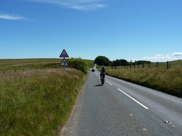
Approaching the cattle grid and junction at Crugynnau
 Map © Crown Copyright")
TIP: Click the map for more Large scale mapping
- Grid Square
- SO1184, 16 images (more nearby 🔍)
- Photographer
- Richard Law (more nearby)
- Date Taken
- Saturday, 9 July, 2022 (more nearby)
- Submitted
- Monday, 11 July, 2022
- Subject Location
-
OSGB36:
 SO 1102 8406 [10m precision]
WGS84: 52:26.8337N 3:18.6381W - Camera Location
-
OSGB36: SO 1103 8417
- View Direction
- SOUTH (about 180 degrees)