2022
TM2307 : Gunfleet Sands Wind Farm
taken 2 years ago, 9 km SE of Clacton-on-Sea, Essex, England
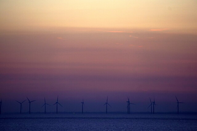
Gunfleet Sands Wind Farm
Taken from about TR3299.
 Map © Crown Copyright")
TIP: Click the map for more Large scale mapping
- Grid Square
- TM2307 (more nearby 🔍)
- Photographer
- Mike Pennington (more nearby)
- Date Taken
- Tuesday, 21 June, 2022 (more nearby)
- Submitted
- Wednesday, 13 July, 2022
- Subject Location
-
OSGB36:
 TM 232 074 [100m precision]
WGS84: 51:43.2957N 1:13.8173E - View Direction
- Northwest (about 315 degrees)