J4338 : Blackstaff Rd, A2
taken 2 years ago, 3 km from Clough, Co Down, Northern Ireland
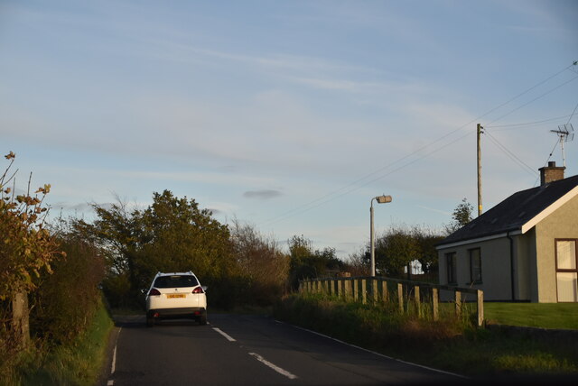
Blackstaff Rd, A2
The A2 runs 237 miles along the coastline of Northern Ireland, from Derry to Newry.
Link
See other images of A2 (Northern Ireland)
Link
See other images of A2 (Northern Ireland)
![Creative Commons Licence [Some Rights Reserved]](https://s1.geograph.org.uk/img/somerights20.gif)
|
· Find out How to reuse this image ·
Share:
|
|||||
| Start a discussion on J4338 | Suggest an update to this image | Contact the contributor | |||
Loading map... (JavaScript required)
- Grid Square
- J4338, 15 images (more nearby
 )
)
- Photographer
- N Chadwick (find more nearby)
- Date Taken
- Friday, 29 October, 2021 (more nearby)
- Submitted
- Monday, 25 July, 2022
- Geographical Context
- Subject Location
-
Irish:
 J 4324 3877 [10m precision]
WGS84: 54:16.6613N 5:48.0988W - Camera Location
-
Irish: J 4322 3877
- View Direction
- EAST (about 90 degrees)
This page has been viewed about 50 times.
View this location:
KML (Google Earth) ·
Google Maps ·
Bing Maps ·
Geograph Coverage Map ·
More Links for this image