2022
NH5347 : Track by Tomich
taken 2 years ago, near to Windhill, Highland, Scotland
This is 1 of 2 images, with title Track by Tomich in this square
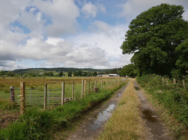
Track by Tomich
The track runs alongside the Black Burn. Looking back towards the farm at Tomich.
 Map © Crown Copyright")
TIP: Click the map for more Large scale mapping
- Grid Square
- NH5347, 18 images (more nearby 🔍)
- Photographer
- Craig Wallace (more nearby)
- Date Taken
- Tuesday, 26 July, 2022 (more nearby)
- Submitted
- Friday, 29 July, 2022
- Subject Location
-
OSGB36:
 NH 5353 4776 [10m precision]
WGS84: 57:29.7782N 4:26.7378W - Camera Location
-
OSGB36: NH 53558 47764
- View Direction
- WEST (about 270 degrees)