C9444 : The hexagonal blocks
taken 2 years ago, 4 km NE of Portballintrae, Co Antrim, Northern Ireland
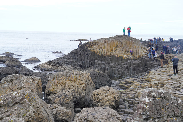
The hexagonal blocks
Looking at some of the lighter coloured, mainly hexagonal blocks, which make up the causeway.
![Creative Commons Licence [Some Rights Reserved]](https://s1.geograph.org.uk/img/somerights20.gif)
|
· Find out How to reuse this image ·
Share:
|
|||||
|
There is 1 post in a
discussion on C9444 (preview on the left) |
Suggest an update to this image | Contact the contributor | |||
Loading map... (JavaScript required)
- Grid Square
- C9444, 431 images (more nearby
 )
)
- Photographer
- Malcolm Neal (find more nearby)
- Date Taken
- Wednesday, 27 July, 2022 (more nearby)
- Submitted
- Thursday, 4 August, 2022
- Geographical Context
- Subject Location
-
Irish:
 C 9475 4470 [10m precision]
WGS84: 55:14.4122N 6:30.6739W - Camera Location
-
Irish: C 9474 4466
- View Direction
- North-northeast (about 22 degrees)
Other Tags
This page has been viewed about 21 times.
View this location:
KML (Google Earth) ·
Google Maps ·
Bing Maps ·
Geograph Coverage Map ·
More Links for this image
·
Bing Maps ·
Geograph Coverage Map ·
More Links for this image