D0102 : Lane, Tully
taken 2 years ago, 3 km from Portglenone, Co Antrim, Northern Ireland
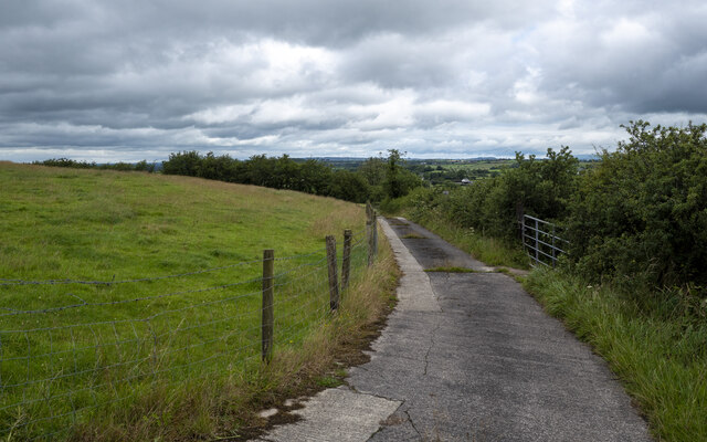
Lane, Tully
Lane close to the summit of Tully hill, leading up from the Old Portglenone Road.
![Creative Commons Licence [Some Rights Reserved]](https://s1.geograph.org.uk/img/somerights20.gif)
|
· Find out How to reuse this image ·
Share:
|
|||||
| Start a discussion on D0102 | Suggest an update to this image | Contact the contributor | |||
Loading map... (JavaScript required)
- Grid Square
- D0102, 4 images (more nearby
 )
)
- Photographer
- Rossographer (find more nearby)
- Date Taken
- Wednesday, 3 August, 2022 (more nearby)
- Submitted
- Thursday, 4 August, 2022
- Geographical Context
- Primary Subject of Photo
- Subject Location
-
Irish:
 D 0103 0283 [10m precision]
WGS84: 54:51.7805N 6:25.6414W - Camera Location
-
Irish: D 0103 0283
- View Direction
- NORTH (about 0 degrees)
Other Tags
This page has been viewed about 18 times.
View this location:
KML (Google Earth) ·
Google Maps ·
Bing Maps ·
Geograph Coverage Map ·
More Links for this image
·
Bing Maps ·
Geograph Coverage Map ·
More Links for this image