2018
NZ9010 : Spital Bridge parapet, Whitby
taken 6 years ago, near to Whitby, North Yorkshire, England
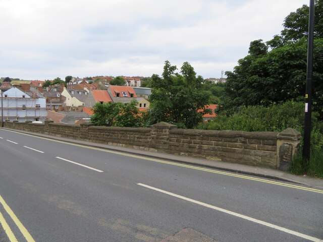
Spital Bridge parapet, Whitby
Slightly confusingly this is Spital Bridge, which is part of the road named Spital Bridge, Whitby. There is an Ordnance Survey benchmark just above the pavement in the centre of the photo NZ9010 : Benchmark on Spital Bridge, Whitby
 Map © Crown Copyright")
TIP: Click the map for more Large scale mapping
- Grid Square
- NZ9010, 341 images (more nearby 🔍)
- Photographer
- John S Turner (more nearby)
- Date Taken
- Sunday, 17 June, 2018 (more nearby)
- Submitted
- Wednesday, 31 August, 2022
- Subject Location
-
OSGB36:
 NZ 90124 10375 [1m precision]
WGS84: 54:28.8440N 0:36.6320W - Camera Location
-
OSGB36: NZ 90114 10365
- View Direction
- Northeast (about 45 degrees)