G1605 : Irish green field
taken 2 years ago, 3 km from Bofeenaun, Co Mayo, Ireland
Irish green field
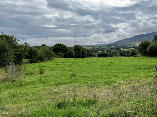
There will have been, and will be again, livestock in this field, but currently it is empty. The R315 just cuts into the western edge of the square, and the slopes of Farbreiga (395m), 4 km away, are seen to the right.
![Creative Commons Licence [Some Rights Reserved]](https://s1.geograph.org.uk/img/somerights20.gif)
|
· Find out How to reuse this image ·
Share:
|
|||||
| Start a discussion on G1605 | Suggest an update to this image | Contact the contributor | |||
Loading map... (JavaScript required)
- Grid Square
- G1605 (more nearby
 )
)
- Photographer
- Neville Goodman (find more nearby)
- Date Taken
- Friday, 2 September, 2022 (more nearby)
- Submitted
- Thursday, 8 September, 2022
- Geographical Context
- Primary Subject of Photo
- Subject Location
-
Irish:
 G 1624 0522 [10m precision]
WGS84: 53:59.3725N 9:16.6627W - Camera Location
-
Irish: G 16067 05311
- View Direction
- East-southeast (about 112 degrees)
This page has been viewed about 22 times.
View this location:
KML (Google Earth) ·
Google Maps ·
Bing Maps ·
Geograph Coverage Map ·
More Links for this image
·
Bing Maps ·
Geograph Coverage Map ·
More Links for this image